
")
")
")
")
")

Related products
-
 AgricultureBuy Now
Siyi MK32 Agriculture Handheld Ground Station Smart Transmitter And RC Controller for Agri Drones
₹53,999.00 (7) -
Buy Now

-
Buy Now

-
 Flight ControllersBuy Now
Vk V9-AG Flight Controller Intelligent Autonomous with GPS Agricultural Drone Spray Usage
₹36,900.00 (11)Add to cart -
Buy Now
-
Buy Now
-
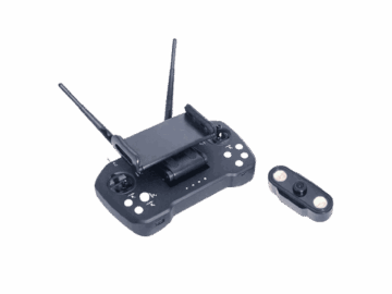 AgricultureBuy Now
SKYDROID T12 2.4GHZ 12CH Remote Controller with R12 Receiver and 3IN1 Camera
₹18,550.00 (5)Add to cart -
Buy Now
-
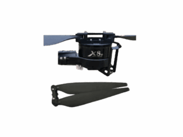 AgricultureBuy Now
Hobbywing XRotor X8 Motor and 3011 Folding Propeller Combo Kit – CW
₹14,199.00 (4)Add to cart
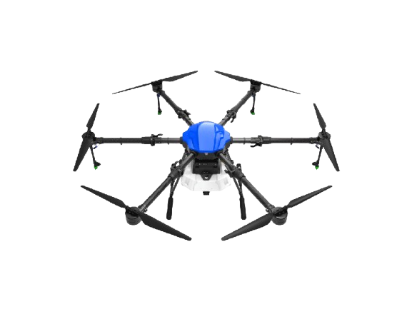
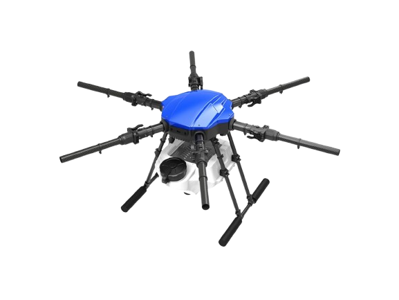
Easily integrated